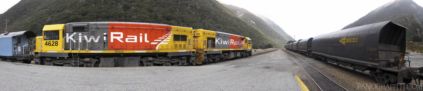
TransAlpine Train at the Arthurs Pass Station
MAP
September 16th, 2011 on Friday at 3:34 PM
20.6MP 184x38 Cylindrical
27mm f2.0 400/s ISO80
Arthur's Pass National Park, Canterbury, New Zealand
10 places and 51 pans within 234 km
Punakaiki - 113 km North-West
West Coast, New Zealand
Christchurch - 113 km South-East
Canterbury, New Zealand
West Coast - 133 km South-West
West Coast, New Zealand
Banks Peninsula - 141 km South-East
Canterbury, New Zealand
Lake Tekapo - 146 km South-West
Canterbury, New Zealand
Mount Cook National Park - 162 km South-West
Canterbury, New Zealand
Nelson Lakes National Park - 164 km North-East
Nelson, New Zealand
Kaikoura - 183 km East
Canterbury, New Zealand
Omarama - 211 km South-West
Otago, New Zealand
Motueka - 234 km North-East
Tasman, New Zealand
5 pans at Arthur's Pass National Park
Memorial at the Top of Arthurs Pass
Bridge Over The Devil's Punchbowl
Bridge Over Bealey Valley HDR
Cloudy Day on Bealey Valley Track
Back 3 of 5
Arthur's Pass National Park
Canterbury, New Zealand
You are at the 4th of 5 panoranics
Click on the panoramic to zoom in
or select an option from the side
Next 5 of 5
Back
Close
## of ###
Visit
Next


 Back 3 of 5


 Close
Close

