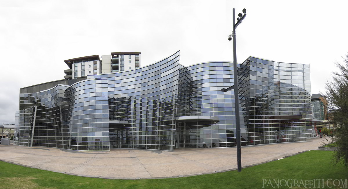
Christchurch Art Museum
MAP
Building
City
April 4th, 2010 on Sunday at 11:59 AM
26.5MP
27mm f3.2 500/s ISO80
Christchurch, Canterbury, New Zealand
12 places and 58 pans within 274 km
Banks Peninsula - 33 km South-East
Canterbury, New Zealand
Arthur's Pass National Park - 110 km West
Canterbury, New Zealand
Kaikoura - 152 km North-East
Canterbury, New Zealand
Lake Tekapo - 181 km West
Canterbury, New Zealand
Nelson Lakes National Park - 192 km North
Nelson, New Zealand
Punakaiki - 204 km West
West Coast, New Zealand
Mount Cook National Park - 207 km West
Canterbury, New Zealand
West Coast - 207 km West
West Coast, New Zealand
Omarama - 235 km South-West
Otago, New Zealand
Otago - 252 km South-West
Otago, New Zealand
Motueka - 269 km North
Tasman, New Zealand
Picton - 274 km North-East
Marlborough, New Zealand
6 pans at Christchurch
Victorial Square in Central Christchurch
Lyttelton Harbour from the Castle Rock Reserve
A Dark Center At Dusk
Estuary of the Avon From The Christchurch Gondola
Christchurch Art Factory
Back 5 of 6
Christchurch
Canterbury, New Zealand
You are at the last of 6 panoranics
Click on the panoramic to zoom in
or select an option from the side
Kaikoura
Canterbury, New Zealand
3 more pans
February 12th, 2011
2 days later
Back
Close
## of ###
Visit
Next


 Back 5 of 6


 Close
Close

