South View of Nugget Point
MAP
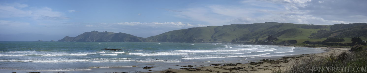
Nugget Point Lighthouse in the distance looking south from the beach
Beach
Coast
December 12th, 2011 on Monday at 5:51 PM
33.4MP 67x13 Cylindrical
101mm f4.9 667/s ISO80
Catlins, Southland, New Zealand
18 places and 104 pans within 412 km
Southland - 111 km West
Southland, New Zealand
Stewart Island - 138 km South-West
Southland, New Zealand
Dunedin - 81 km North-East
Otago, New Zealand
Otago Peninsula - 92 km North-East
Otago, New Zealand
Queenstown - 167 km West
Otago, New Zealand
Otago - 140 km North-East
Otago, New Zealand
Arrowtown - 179 km West
Otago, New Zealand
Glenorchy - 191 km West
Otago, New Zealand
Fiordland - 214 km West
Fiordland National Park, Southland, New Zealand
Wanaka - 208 km North-West
Otago, New Zealand
Haast Pass - 226 km North-West
West Coast, New Zealand
Omarama - 216 km North
Otago, New Zealand
Mount Cook National Park - 275 km North
Canterbury, New Zealand
Lake Tekapo - 273 km North
Canterbury, New Zealand
West Coast - 332 km North
West Coast, New Zealand
Banks Peninsula - 387 km North-East
Canterbury, New Zealand
Christchurch - 389 km North-East
Canterbury, New Zealand
Arthur's Pass National Park - 412 km North
Canterbury, New Zealand
9 pans at Catlins
Curio Bay Penguin Colony 360
Cannibal Bay in HDR
Purakaunui Falls
Florence Hill HDR
North View from Nugget Point
Waipapa Point Lighthouse
Nugget Point Lighthouse Walkway
McLean Falls in HDR
Back 3 of 9
Catlins
Southland, New Zealand
You are at the 4th of 9 panoranics
Click on the panoramic to zoom in
or select an option from the side
Next 5 of 9
Back
Close
## of ###
Visit
Next


 Back 3 of 9


 Close
Close

