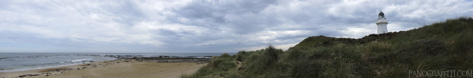
Waipapa Point Lighthouse
MAP
Beach
December 11th, 2011 on Sunday at 5:29 PM
25.9MP 166x27 Cylindrical
27mm f3.5 1000/s ISO80
Catlins, Southland, New Zealand
18 places and 104 pans within 467 km
Southland - 42 km West
Southland, New Zealand
Stewart Island - 60 km South-West
Southland, New Zealand
Dunedin - 155 km North-East
Otago, New Zealand
Otago Peninsula - 167 km North-East
Otago, New Zealand
Queenstown - 172 km North-West
Otago, New Zealand
Otago - 205 km North-East
Otago, New Zealand
Arrowtown - 191 km North-West
Otago, New Zealand
Glenorchy - 192 km North-West
Otago, New Zealand
Fiordland - 198 km North-West
Fiordland National Park, Southland, New Zealand
Wanaka - 233 km North
Otago, New Zealand
Haast Pass - 250 km North
West Coast, New Zealand
Omarama - 260 km North
Otago, New Zealand
Mount Cook National Park - 318 km North
Canterbury, New Zealand
Lake Tekapo - 322 km North-East
Canterbury, New Zealand
West Coast - 372 km North
West Coast, New Zealand
Banks Peninsula - 457 km North-East
Canterbury, New Zealand
Christchurch - 457 km North-East
Canterbury, New Zealand
Arthur's Pass National Park - 467 km North-East
Canterbury, New Zealand
9 pans at Catlins
Curio Bay Penguin Colony 360
Cannibal Bay in HDR
Purakaunui Falls
South View of Nugget Point
Florence Hill HDR
North View from Nugget Point
Nugget Point Lighthouse Walkway
McLean Falls in HDR
Back 6 of 9
Catlins
Southland, New Zealand
You are at the 7th of 9 panoranics
Click on the panoramic to zoom in
or select an option from the side
Next 8 of 9
Back
Close
## of ###
Visit
Next


 Back 6 of 9


 Close
Close

