Skydiving In Franz Josef
MAP
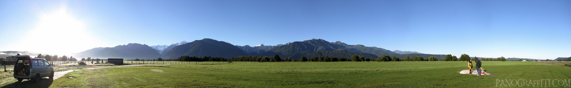
A fellow skydiver landing after completing their first jump at Skydive Franz Josef with Mount Cook in the background
Mountain
Sky
March 28th, 2010 on Sunday at 9:08 AM
29.4MP 210x36 Cylindrical
27mm f4.0 500/s ISO80
West Coast, West Coast, New Zealand
administrative_area_level_1=West Coast country=New Zealand
12 places and 67 pans within 226 km
Mount Cook National Park - 64 km South
Canterbury, New Zealand
Lake Tekapo - 75 km South
Canterbury, New Zealand
Omarama - 123 km South
Otago, New Zealand
Arthur's Pass National Park - 126 km North-East
Canterbury, New Zealand
Haast Pass - 142 km South-West
West Coast, New Zealand
Wanaka - 154 km South-West
Otago, New Zealand
Arrowtown - 203 km South-West
Otago, New Zealand
Punakaiki - 190 km North-East
West Coast, New Zealand
Christchurch - 206 km East
Canterbury, New Zealand
Glenorchy - 220 km South-West
Otago, New Zealand
Otago - 218 km South
Otago, New Zealand
Queenstown - 226 km South-West
Otago, New Zealand
6 pans at West Coast
Fox Glacier Terminus in HDR
Fox Glacier Carve
On Franz Josef Glacier
Mount Cook Near Lake Matheson
Skydive Franz Josef Aeroport
Back 4 of 6
West Coast
West Coast, New Zealand
You are at the 5th of 6 panoranics
Click on the panoramic to zoom in
or select an option from the side
Next 6 of 6
Back
Close
## of ###
Visit
Next


 Back 4 of 6


 Close
Close

